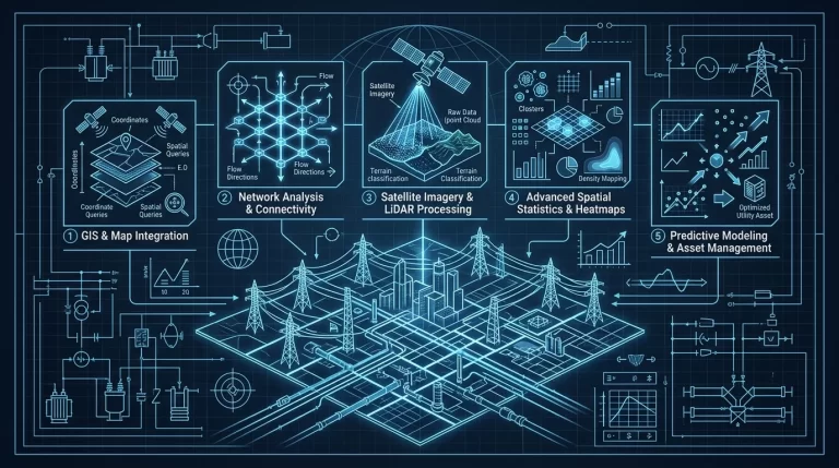
Step-by-Step: Architecting Complex QGIS Layer Hierarchies for Scalable Regional Water Infrastructure Mapping

Learn how to architect robust, scalable QGIS layer hierarchies for regional water infrastructure, optimizing data flow for industrial-grade AI and hydraulic simulation engines. This guide provides the technical blueprint for software developers to manage complex geospatial datasets with precision and performance.
- The Challenge of Scale in water Infrastructure Mapping
- Step 1: Defining the Multi-Tiered Logical Schema
- Step 2: Programmatic Hierarchy Construction with PyQGIS
- Step 3: Optimization via PostGIS and Spatial Indexing
- Step 4: Comparative Analysis of Organizational Strategies
- Step 5: Implementing Scale-Dependent Visibility
- Conclusion: Future-Proofing with AI Integration
The Challenge of Scale in water Infrastructure Mapping
For industrial software developers working in the water sector, the transition from local utility mapping to regional-scale infrastructure management presents significant architectural hurdles. When dealing with hundreds of thousands of spatial features—ranging from primary transmission mains to residential service connections—a flat layer structure in QGIS (Quantum Geographic Information System) becomes unmanageable. It leads to rendering bottlenecks, user interface clutter, and data integrity risks. As an academic researcher in water Infrastructure AI, I advocate for a hierarchical approach that mirrors the physical and logical topology of the water network while remaining optimized for automated processing.
Step 1: Defining the Multi-Tiered Logical Schema
Before writing a single line of code, you must define a schema that separates data by its physical nature, its operational status, and its analytical utility. A scalable hierarchy typically follows a four-tier structure:
- Tier 1: Physical Assets (Static) – Gravity mains, pressurized pipes, valves, hydrants, and tanks.
- Tier 2: Operational Boundaries (Logical) – Pressure zones, District Metered Areas (DMAs), and service catchments.
- Tier 3: Dynamic Sensors (IIoT) – SCADA integration points, flow meters, and pressure transducers.
- Tier 4: Analytical/AI Outputs – Leakage probability heatmaps, hydraulic head predictions, and pipe criticality scores.
Step 2: Programmatic Hierarchy Construction with PyQGIS
Manually creating groups and sub-groups is prone to error and non-scalable. Industrial developers should leverage the QgsLayerTreeGroup and QgsLayerTreeLayer classes to automate the environment setup. This ensures that every developer and analyst on the team works within the same standardized environment.
Below is a Python implementation designed for the QGIS Python Console or as part of a standalone plugin to initialize a regional water hierarchy:
from qgis.core import QgsProject, QgsLayerTreeGroup

def setup_water_hierarchy():
    root = QgsProject.instance().layerTreeRoot()

    # Define the primary structure
    groups = {
        "1. Physical Infrastructure": ["Transmission Mains", "Distribution Pipes", "Valves", "Storage Tanks"],
        "2. Hydraulic Boundaries": ["Pressure Zones", "DMAs", "Supply Areas"],
        "3. Real-Time Monitoring": ["Flow Sensors", "Pressure Loggers", "Water Quality Nodes"],
        "4. AI & Analytics": ["Leakage Risk Index", "Remaining Useful Life (RUL)", "Hydraulic Simulations"]
    }

    for group_name, sub_groups in groups.items():
        # Check if group already exists to avoid duplication
        grp = root.findGroup(group_name)
        if not grp:
            grp = root.addGroup(group_name)

        for sub in sub_groups:
            if not grp.findGroup(sub):
                grp.addGroup(sub)

    print("Water Infrastructure Hierarchy initialized successfully.")

setup_water_hierarchy()
Step 3: Optimization via PostGIS and Spatial Indexing
A hierarchy is only as good as the data fetching mechanism behind it. For regional mapping, avoid flat GeoJSON or Shapefiles. Instead, utilize PostGIS. When architecting the QGIS project, ensure that each layer is added with a specific filter (SQL WHERE clause) to prevent the application from attempting to render the entire regional dataset at once. Use Spatial Indexing (GIST) on the geometry columns and B-Tree indexing on operational attributes like zone_id or pipe_material.
Step 4: Comparative Analysis of Organizational Strategies
Choosing the right organizational pattern depends on the specific use case of your software. The following table compares common GIS architectural patterns used in water utility management:
| Strategy | Scalability | Performance | Best Use Case |
|---|---|---|---|
| Flat Layer List | Low | High (initial) / Low (complex) | Small-scale pilot projects or single-town maps. |
| Standard Hierarchical | High | Medium | General utility operations and asset management. |
| Virtual/View-Based | Very High | High | AI-driven predictive modeling and regional hydraulic analysis. |
| Categorized Symbology | Medium | Low | Visualizing pipe materials or age distributions. |
Step 5: Implementing Scale-Dependent Visibility
To maintain high performance in regional mapping, developers must implement scale-dependent visibility within the layer hierarchy. For instance, service connections (Tier 1) should only be visible at scales larger than 1:5,000, while regional transmission mains should remain visible at 1:100,000. This is configured via the setSubLayerVisibility methods in the QGIS API or through the GUI under Layer Properties > Rendering.
Pro Tip: When building AI-driven tools, use the Rule-based Symbology feature. This allows you to dynamically change the appearance of infrastructure based on model outputs, such as highlighting pipes where the predicted pressure drop exceeds a specific threshold.
Conclusion: Future-Proofing with AI Integration
Architecting complex QGIS layer hierarchies is not merely an exercise in organization; it is the foundation of a Digital Twin. By structuring your data logically and programmatically, you enable seamless integration with machine learning pipelines that can ingest these layers to predict bursts, optimize pumping energy, and manage water age. As regional water scarcity increases, the ability to visualize and analyze these complex relationships at scale will be the defining factor in resilient infrastructure management.