InfoWater Pro vs. WaterGEMS: Which is Better for Large-Scale Urban Distribution Modeling?

Compare InfoWater Pro and WaterGems for large-scale urban water modeling. Discover which tool offers superior GIS integration and hydraulic optimization.
Introduction
For senior engineers managing sprawling municipal water networks, the choice between InfoWater Pro and WaterGems is more than a software preference—it is a strategic decision that dictates operational efficiency and long-term data integrity. As urban centers grow and aging infrastructure demands more precise digital twins, the ability to simulate complex hydraulic scenarios with high fidelity becomes paramount. While both platforms are industry standards, they cater to different workflows: one is deeply embedded in the ArcGIS Pro ecosystem, while the other offers a multi-platform approach designed for maximum flexibility. This article analyzes the technical nuances of both tools to determine which is better suited for large-scale urban distribution modeling.
InfoWater Pro: The GIS-Centric Powerhouse
InfoWater Pro, developed by Innovyze (now an Autodesk company), is built natively inside ArcGIS Pro. For organizations that treat their GIS as the single source of truth, this integration is its greatest strength. Because the model runs directly on the GIS database, there is no need for data synchronization or the cumbersome import/export routines that often plague Hydraulic Modeling workflows.
Key Technical Advantages:
- Direct GIS Integration: Senior engineers can leverage advanced spatial analysis tools within ArcGIS Pro to identify vulnerabilities or plan expansions without leaving the modeling environment.
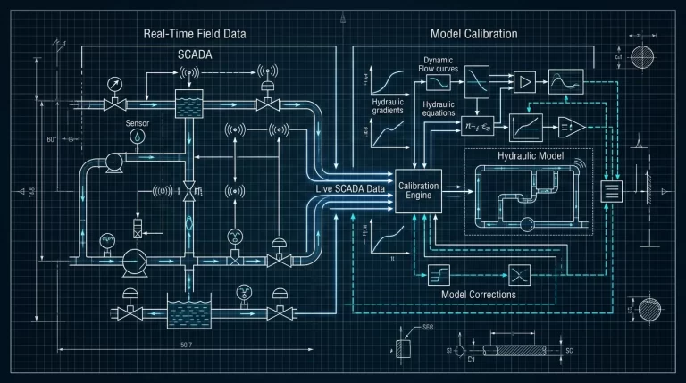
- Live Data Exchange: With the integration of Info360, InfoWater Pro allows for real-time monitoring and predictive modeling, which is essential for managing pressure zones in high-density urban areas.
- Criticality Analysis: Its automated tools for pipe break analysis and fire flow testing are highly optimized for large datasets, allowing for rapid assessment of system resiliency.
However, the dependency on ArcGIS Pro can be a double-edged sword. The hardware requirements are significant, and users must be proficient in both Hydraulic Modeling and ESRI’s GIS environment to be truly effective.
WaterGems: Unmatched Platform Versatility
Bentley’s WaterGems is often cited as the most versatile Hydraulic Modeling software on the market. Unlike InfoWater Pro, WaterGems can run as a standalone application, or integrated within MicroStation, AutoCAD, and ArcGIS. This flexibility makes it a favorite for consulting firms that serve diverse clients with varying CAD and GIS requirements.
Advanced Optimization Features:
- Darwin Tools: WaterGems features the Darwin suite, which utilizes genetic algorithms for automated calibration (Darwin Calibrator), design optimization (Darwin Designer), and leak detection (Darwin Scheduler).
- Scenario Management: Its scenario management tree is widely considered the best in the industry, allowing engineers to compare hundreds of ‘what-if’ scenarios—such as different demand patterns or infrastructure upgrades—within a single project file.
- Skelebrator: For large-scale models with hundreds of thousands of pipes, the Skelebrator tool automatically simplifies the network while maintaining hydraulic equivalency, significantly reducing computation times.
Large-Scale Modeling Challenges: Performance and Scaling
When modeling a large-scale urban environment, the sheer volume of data can lead to performance bottlenecks. InfoWater Pro excels in data management because it utilizes the robust geodatabase structure of ArcGIS. This allows for sophisticated versioning and multi-user editing, which is critical for large utility teams.
Conversely, WaterGems often performs better in computational speed for complex optimization tasks. Its ability to run outside of a GIS environment means it can allocate more system resources to the hydraulic solver rather than the graphical interface. For senior engineers focused on long-term master planning where optimization of capital improvement programs (CIP) is the priority, the genetic algorithms in WaterGems provide a distinct edge.
Comparative Analysis: Features at a Glance
The following table provides a technical comparison of the two platforms based on metrics relevant to large-scale urban modeling.
| Feature | InfoWater Pro (Autodesk) | WaterGems (Bentley) |
|---|---|---|
| Primary Environment | ArcGIS Pro (Native) | Standalone, AutoCAD, MicroStation, ArcGIS |
| Optimization Engine | Standard Genetic Algorithms | Advanced (Darwin Tools) |
| Data Management | Superior (GIS-based) | Excellent (Scenario-based) |
| Real-Time Integration | High (Info360 / Live Data) | High (SCADAConnect) |
| Learning Curve | Moderate (Requires GIS expertise) | Moderate (Complex UI) |
Conclusion
Choosing between InfoWater Pro and WaterGems depends heavily on your existing infrastructure and primary objectives. For municipal engineers whose workflows are deeply rooted in ESRI ArcGIS Pro, InfoWater Pro offers an unparalleled, seamless experience that eliminates data silos. Its ability to act as a direct extension of the GIS makes it the superior choice for day-to-day operational modeling and asset management.
However, for senior engineers focused on complex optimization, master planning, and multi-platform flexibility, WaterGems remains the industry leader. Its sophisticated genetic algorithms and ability to function across various CAD environments make it a more versatile tool for large-scale engineering design and capital planning. Ultimately, both tools are capable of handling the largest urban networks; the “better” tool is the one that aligns most closely with your organization’s data architecture and optimization needs.